Total ascent, 1,156m.
Total descent, 913m.
Sunday, 6th August.
Well last night's meal was an absolute blast! At 7:30 everyone filed in and was told where to sit. I was on a table of three, which was composed of an Englishman (me), an Italian and a Frenchman, all of us walkers. The Englishman (me) knew 12 words of Italian, a surprisingly large amount of French (thank you Whitby Comp'), and some Spanish (which proved useful to the Italian). The Italian knew a little French and some English. The Frenchman knew no Italian and no English. We managed to chat for 90 minutes about mountains, Ferraris, football, Brexit and, amazingly, how good British maps are (the Italian started this, not me!). Utterly bizarre.
After the starter a man wearing a cross walked in with a microphone and introduced various groups as if it was a Christmas party. There was much clapping and whooping. Later the lights went out and we all sang 'Happy Birthday' to an elderly gentleman in Italian (well of course I know the words!).
I was aware that storms were forecast, but a clap of thunder in the middle of the night at 6500ft is pretty terrifying! By the time I got up for breakfast the storm was long gone and everywhere was dry again. Looks like the weather's going to be cooler and more changeable from now on. We had a discussion about this last night at dinner. The Italian said that it would rain for about an hour this morning, then improve. My 2 reliable weather Apps said that it would be fine in the morning and there would be storms in the afternoon. In the event, it rained for about an hour this morning, then improved. Dramatically.
The sanctuary was a mere mile from the Italian / French border, and my journey today took me straight to it, then along it on a ridge for the entire morning. I was now going to follow not only the GTA, but also the Lou Viage (???) and the Via Alpina (red route). I had the choice of two maps to follow: my trusty Italian IGC with its thick, felt-tip dotted line drawn with a ruler, or my French map (no idea who by as I cut it up to save weight!) with its narrow, intricately drawn red line showing every turn on the path. Or I could follow both, with my right leg in France following the path and my left leg in Italy tripping the other leg up in its continued attempt to progress in a straight line. Decisions, decisions!
There was a short climb up to the first col, maybe half an hour, but already people were half-running back past me, looking agitated. I guessed that maybe I might get wet, so togged up. At the col two things happened: firstly I got my first view of the French landscape as I was now standing on the border, secondly I got a great view of some Biblical British weather. This greatly affected my view of the French landscape.
Ou est France?

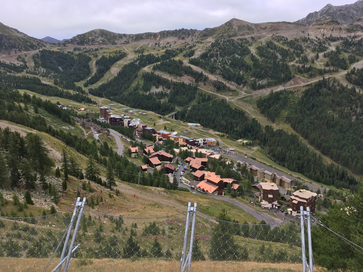
To be honest I couldn't help but think that some of these French and Italians really need to come to Wales. Ok so everything had disappeared, but the cloud was still high and it was only an hour or so long shower. Towards the end, after a super walk along the border-straddling ridge, I dropped down to another col with a road over it and a car park. It was full of cars full of grumpy looking people. Also on the col was a refreshments van, with music playing and the two owners singing loudly. Next to it were two lady walkers in full waterproofs, dancing. I took a photo for them (in front of the van!), had a coffee and the rain stopped. Not only did it stop but within 10 minutes I was back in sunshine and the day just got better from there, aside from a spell walking above Isola 2000, a modern ski resort that of course looks awful in Summer.
Yuk.
A climb led me up through trees to a rim, beyond which were a couple of beautiful lakes, a perfect lunch spot. Another simple ascent led me to a significant col (I've forgotten the name as I've thrown the map away now!). Not only was it the highest point of the walk so far at 2628m (prior to this the highest point had still been the annoying road col on day 2), but I was back in Italy and entering the Alpes Marittime National Park, where all the really big lumps are. For the next 3 days I'd be in a land of rocks (not everyone's cup of tea I know, Jen included, but I love how alien it all is - for short spells!).
Lunch Lake 2.

Then it was down to another fine lake and a final, glorious hour through magnificent scenery to the rifugio, standing at 2388m (7835ft), and looking like it's just landed on the moon. It's tiny and I'm sleeping in the loft on one of a long row of beds joined together!
Alpes Marittimes National Park.

Lunar! The rifugio is in the middle of the picture.

And as for the shower, well just take a look at this........
Oh yes!!!

Stats Zone:

The trough was the col with the grumpy, singing and dancing people!

No comments:
Post a Comment